Rwenzori Mountains National Park
Everything Uganda
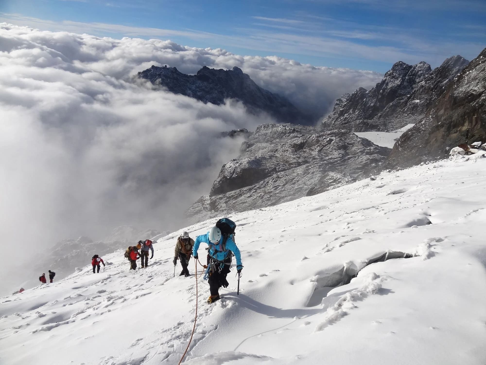
The Rwenzori Mountains are Africa's highest mountain range and one of the continent's great trekking destinations — all the more extraordinary for sitting directly on the equator while retaining permanent glaciers and snow on their highest peaks. Ptolemy named them the Mountains of the Moon in 150 AD. The Bakonzo people, who have lived in the foothills for millennia, call them Rwenzururu — 'Place of Snow.'
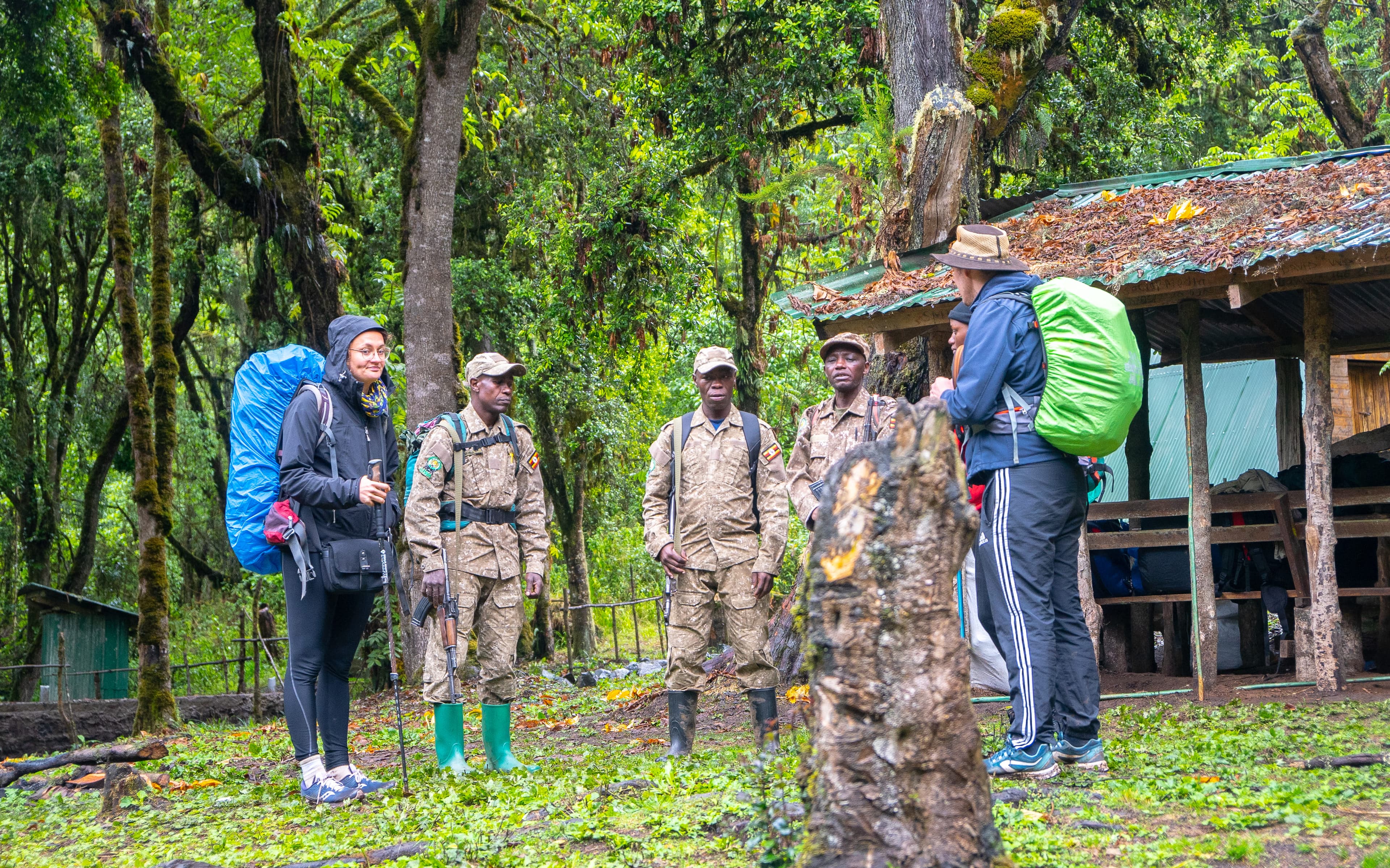
Margherita Peak, the range's highest point at 5,109 metres, is Africa's third-highest summit after Kilimanjaro and Mount Kenya. The Central Circuit trek — the most popular route — passes through five dramatically different vegetation zones in seven to nine days: montane forest, bamboo, heather moorland, afroalpine, and glacial. The afroalpine zone contains giant Senecio groundsels and giant lobelias that can grow four metres tall and are found nowhere else on earth. All treks are guided by Bakonzo porters and guides — communities whose generational knowledge of the mountain is inseparable from the experience of walking it.
What to Do
Central Circuit Trek — the classic 7–9 day route through all five vegetation zones to the snow line. Technical summit attempts on Margherita Peak require glacier travel experience and additional equipment.
Kilembe Trail — an alternative route from the south, gaining altitude quickly through dense forest.
Day hikes — shorter walks from Nyakalengija trailhead (1,646m) into the lower montane forest, accessible without a multi-day permit.
Birding — 217+ species including 19 Albertine Rift endemics such as the Rwenzori Turaco, Blue-headed Sunbird, and Collared Apalis.
Cultural visits — meeting Bakonzo communities in the foothills, learning about the mountain's role in their cultural and spiritual life.
Key Facts
Margherita Peak: 5,109 metres — Africa's third-highest summit. Snow and glaciers on the equator.
Vegetation zones: 5 (montane forest · bamboo · heather · afroalpine · glacial) — each with its own distinct character and wildlife.
Giant groundsels (Senecio adnivalis): prehistoric-looking plants up to 4 metres tall, found nowhere else on earth.
Trailhead: Nyakalengija village, 17km from Kasese town in western Uganda.
Best time: June–August and December–February. The mountain creates its own weather year-round.
Getting there: 6–7 hours from Kampala to Kasese (420km).
Related expeditions
9-Day Pearl of Africa Fly-in Adventure: Wildlife and Culture
Uganda in nine days, through its wildlife, kingdoms, food, music and people. You start with a scenic domestic flight to Murchison Falls National Park, where the Top of the Falls,…


Educational School Trip to Fort Portal and Kasese
A five-day learning trip to western Uganda that takes students out of the classroom and into the places they study. Built around the theme Learning Beyond the Classroom, it covers…